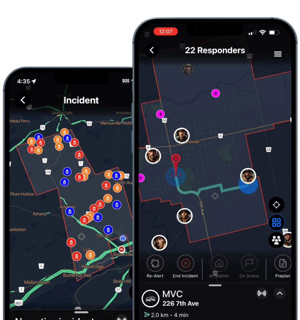
Smart maps that get you there faster, safer, and with confidence — responders, hydrants, hazards and routes on one live view.
Equip your team with the vital resources needed to communicate in critical moments.
Quickly locate incidents with exact pins, plus-codes and CAD-plotted addresses.
Highlight risks, closures and access points so crews route around trouble.
Dynamic turn-by-turn navigation straight to the scene from wherever you are.
Plan safer operations with hydrants, preplans and markers layered on the map.
See every responding member's live position and ETA for on-scene coordination.
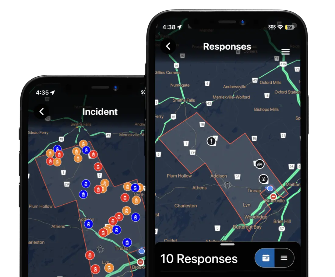
Use detailed maps for preparation, training and pre-incident planning.
Try Mapping — and everything else — free for 45 days. No contracts, no obligations.